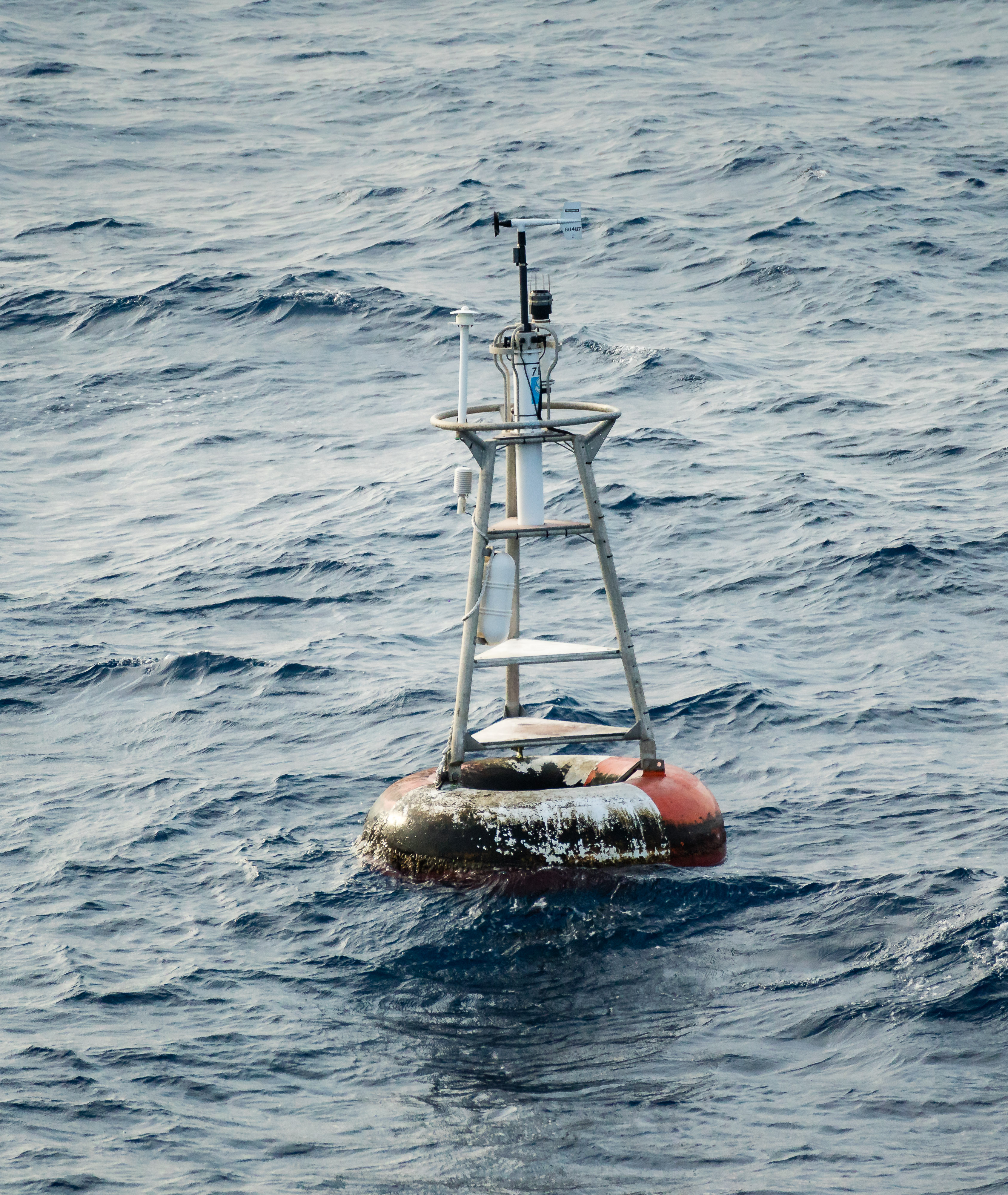
This is the most magical place on earth. At least, from a geographer’s standpoint. This is where the Prime Meridian meets the Equator off the shore of Africa in the Atlantic Ocean. It’s not an island, it’s a weather buoy.
Maybe it isn’t all that magical, really. The coordinates here are (0,0) using a standard geographic coordinate system with latitude and longitude. A geographical coordinate system uses a spherical model of the earth. It is often very useful to pretend the earth is flat. Well…. not the whole earth, obviously, but a little rectangle of the world. Doing so allows geographers to better preserve distance between points (lines of longitude are further apart at the equator) and area calculations. We use a whole series of projected coordinate systems (Texas has five) to correctly model small parts of the world in a two-dimensional space.
When geographic data bounces back and forth between projected and geographic coordinate systems, inevitably there will be problems. Such as one system wants to store coordinates as text (33°00’00.0″N, 96°00’00.0″W) and the other wants numerical (22,000, 3,600,000) Trying to cram text into numerical fields never works, and when it fails, you are left with (null, null) which most mapping applications assume is (0,0) … and helpfully plot your location off the coast of Africa, here at Null Island.
BUT WHAT ARE THE IMPLICATIONS TO WORLD BUILDING? Location, mapping, navigation, exploration, cartography… Characters on a journey need to keep track of their bearing to keep from getting lost, and they need to be able to estimate distances between points especially if they’ve never made the journey before. Separate cultures may use different units of measurement, different points of reference–there might be other royal observatories in places other than Greenwich.